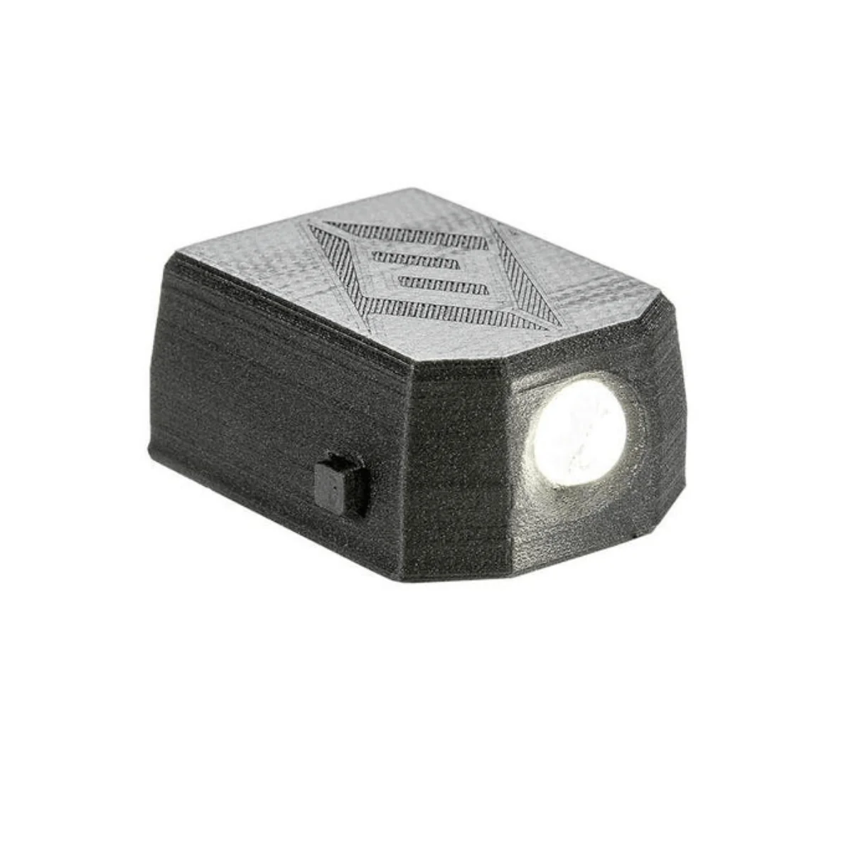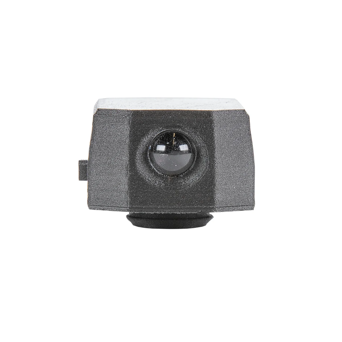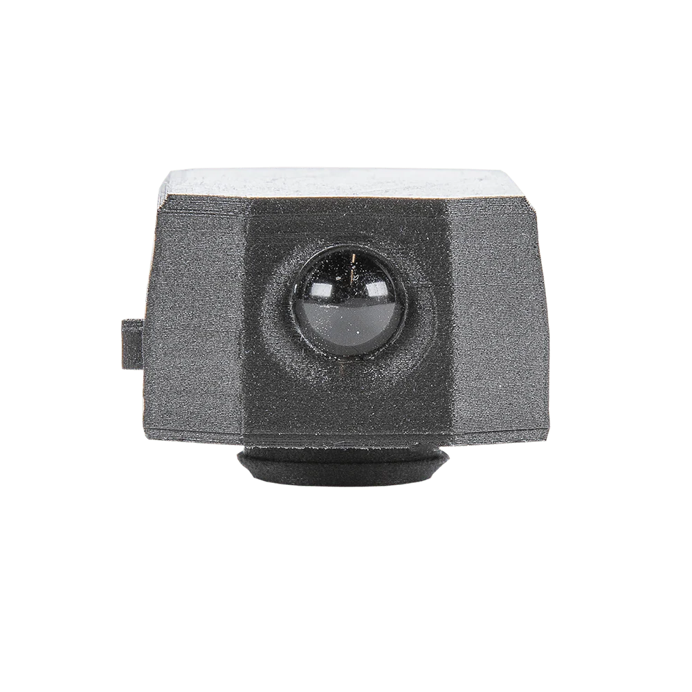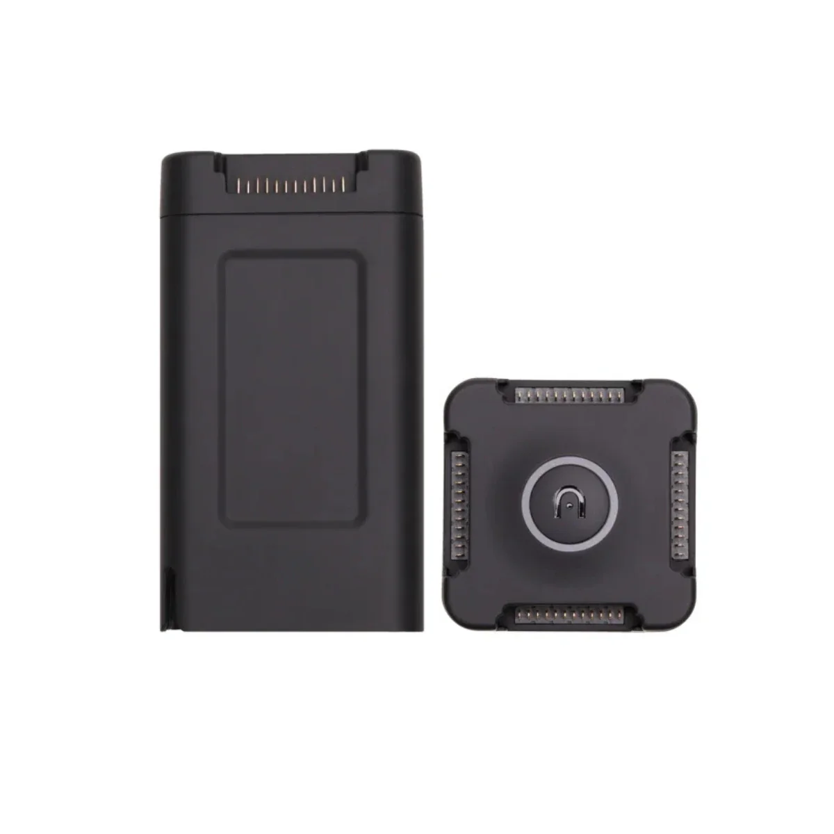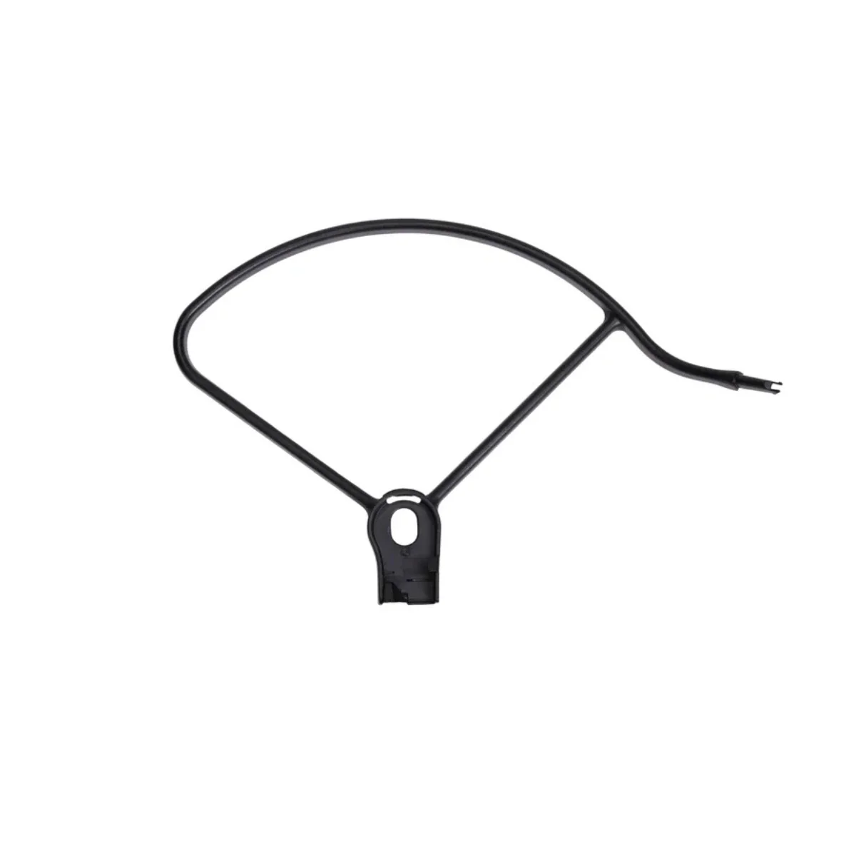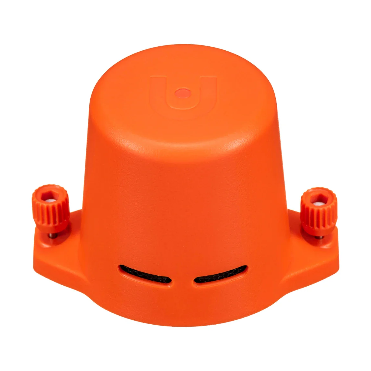
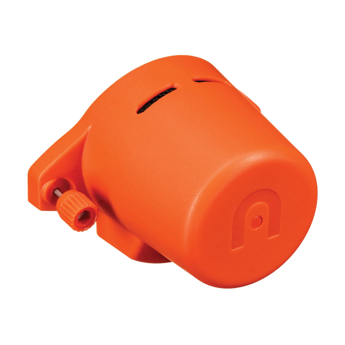


Autel EVO II Enterprise RTK Module
Integrated RTK and PPK Positioning for Scalable Mapping Workflows
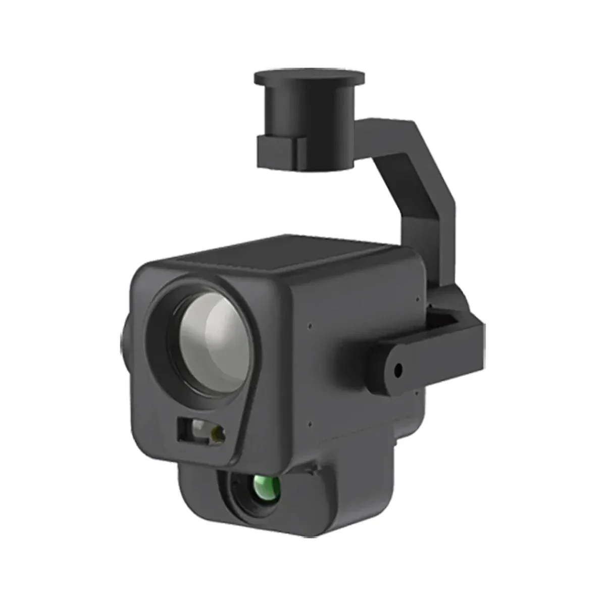
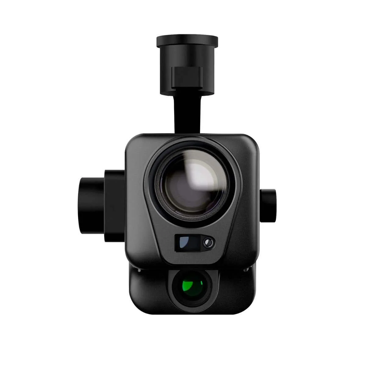
The Autel RTK Module for EVO II Enterprise is a positioning upgrade designed to integrate directly into enterprise mapping workflows. Built for EVO II Enterprise V2 and V3 platforms, it enables both real-time RTK positioning through A-RTK base stations and flexible PPK workflows for post-processing environments.
By combining multi-constellation GNSS support with synchronized image and positioning data, the module supports consistent, repeatable outputs across projects. It is particularly valuable for teams managing multiple deployments or operating in environments where connectivity varies, allowing them to maintain accuracy without compromising operational continuity.
Key Features and Benefits
- RTK positioning: enables real-time centimeter-level accuracy across mapping operations
- 1 cm + 1 ppm: supports survey-grade horizontal positioning performance
- PPK support: enables scalable workflows without reliance on live correction links
- Time synchronization: ensures alignment between imagery and positioning datasets
- Multi-GNSS support: leverages GPS, BeiDou, and Galileo for consistent coverage
- A-RTK compatibility: integrates with base stations and RTK network infrastructure
- Lightweight design: 2.09 oz (59 g) minimizes system overhead
- Floating connectors: maintain stable data link during extended operations
- Direct integration: installs seamlessly onto EVO II Enterprise platforms
Applications and Use Cases
- Enterprise mapping: supports standardized data collection across multiple project sites
- Survey operations: enables repeatable high-accuracy data capture workflows
- Infrastructure inspection: ensures consistent positioning across inspection datasets
- GIS programs: integrates into structured geospatial data collection pipelines
- Construction monitoring: supports accurate tracking across phased development projects
- Photogrammetry workflows: improves model consistency across repeated missions
The RTK Module enables scalable and consistent positioning performance across enterprise UAV programs. Its flexibility between RTK and PPK workflows allows teams to adapt to different environments without sacrificing data quality.
With Dronefly, you’re not just purchasing hardware—you’re building a complete UAV workflow. From integration to long-term deployment strategy, Dronefly ensures your RTK system supports your entire operation—order the Autel RTK Module from Dronefly today.
Product Information
Product Information
Shipping & Returns
Shipping & Returns
Description
Integrated RTK and PPK Positioning for Scalable Mapping Workflows
The Autel RTK Module for EVO II Enterprise is a positioning upgrade designed to integrate directly into enterprise mapping workflows. Built for EVO II Enterprise V2 and V3 platforms, it enables both real-time RTK positioning through A-RTK base stations and flexible PPK workflows for post-processing environments.
By combining multi-constellation GNSS support with synchronized image and positioning data, the module supports consistent, repeatable outputs across projects. It is particularly valuable for teams managing multiple deployments or operating in environments where connectivity varies, allowing them to maintain accuracy without compromising operational continuity.
Key Features and Benefits
- RTK positioning: enables real-time centimeter-level accuracy across mapping operations
- 1 cm + 1 ppm: supports survey-grade horizontal positioning performance
- PPK support: enables scalable workflows without reliance on live correction links
- Time synchronization: ensures alignment between imagery and positioning datasets
- Multi-GNSS support: leverages GPS, BeiDou, and Galileo for consistent coverage
- A-RTK compatibility: integrates with base stations and RTK network infrastructure
- Lightweight design: 2.09 oz (59 g) minimizes system overhead
- Floating connectors: maintain stable data link during extended operations
- Direct integration: installs seamlessly onto EVO II Enterprise platforms
Applications and Use Cases
- Enterprise mapping: supports standardized data collection across multiple project sites
- Survey operations: enables repeatable high-accuracy data capture workflows
- Infrastructure inspection: ensures consistent positioning across inspection datasets
- GIS programs: integrates into structured geospatial data collection pipelines
- Construction monitoring: supports accurate tracking across phased development projects
- Photogrammetry workflows: improves model consistency across repeated missions
The RTK Module enables scalable and consistent positioning performance across enterprise UAV programs. Its flexibility between RTK and PPK workflows allows teams to adapt to different environments without sacrificing data quality.
With Dronefly, you’re not just purchasing hardware—you’re building a complete UAV workflow. From integration to long-term deployment strategy, Dronefly ensures your RTK system supports your entire operation—order the Autel RTK Module from Dronefly today.